Surveying students on campus
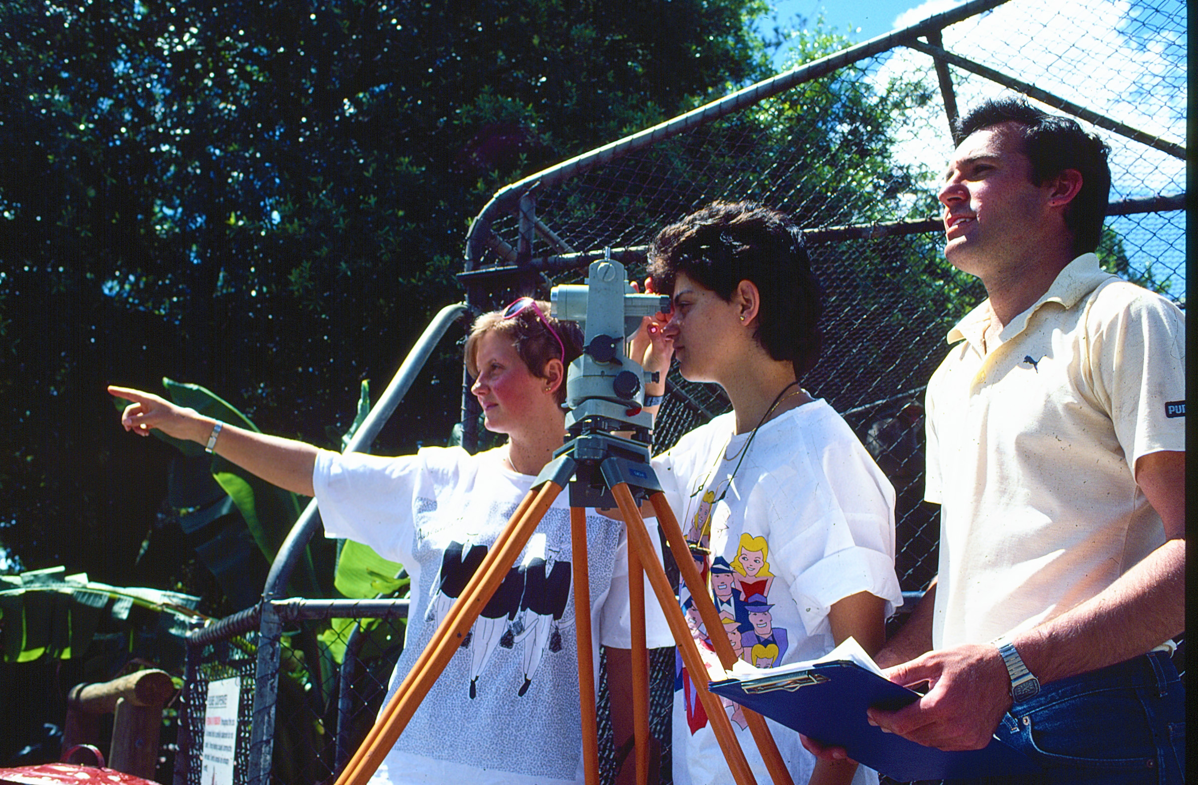
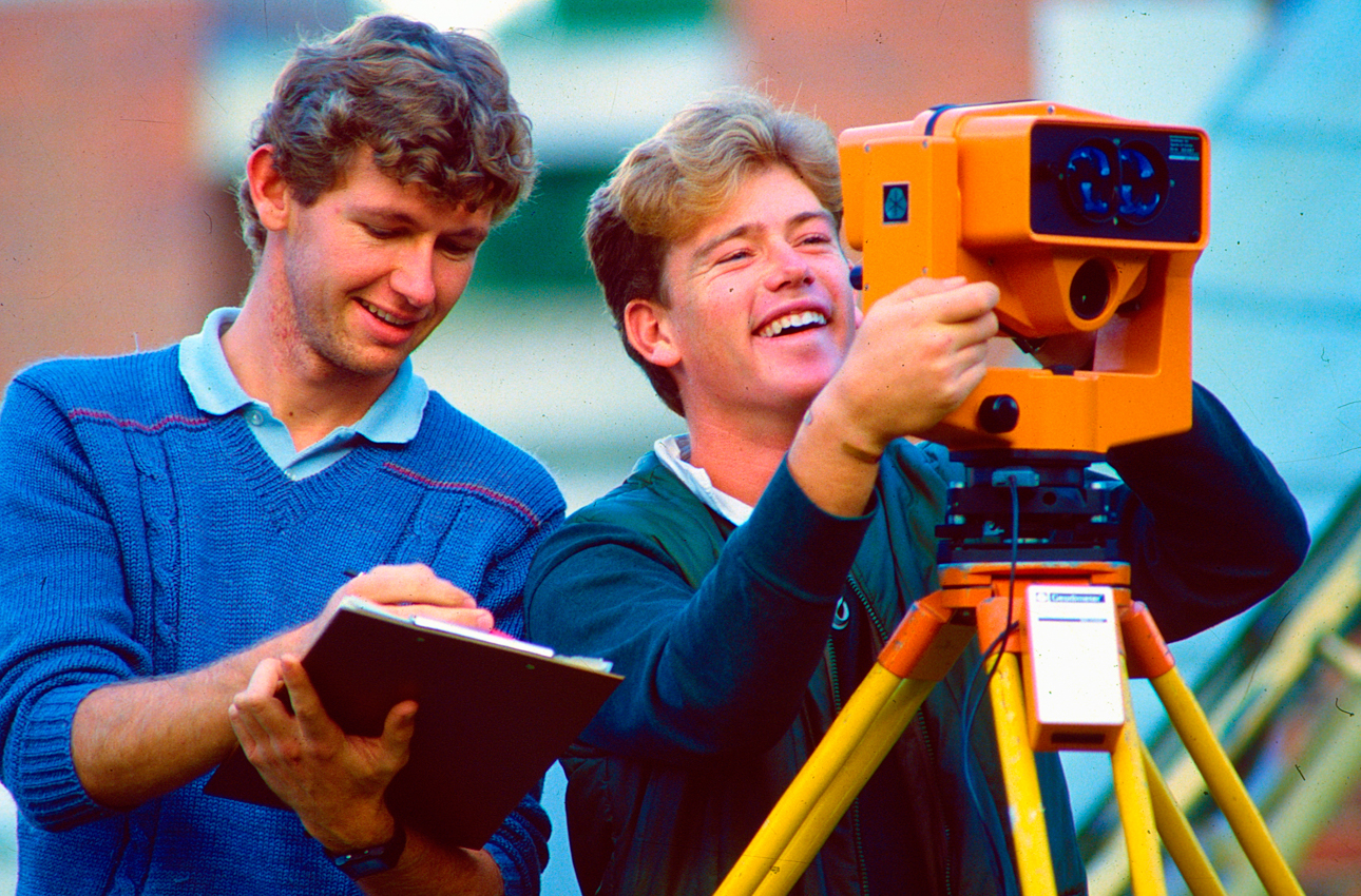
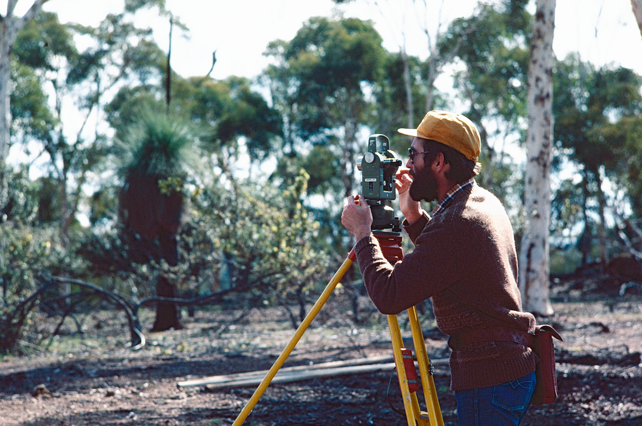
If you have ever been to our Bentley campus during semester, you would be familiar with the sight of our surveying students out and about on the campus grounds learning how to use surveying equipment.
Surveying has a long history at Curtin. Two colleges in our family tree, Perth Technical College and the Western Australian School of Mines both taught surveying from their earliest days. Our first School of Mines surveying graduate was a World War I Anzac, Captain James Peat. Peat fell in action in Belgium in 1917.
An article in the WAIT Gazette (August 1968) describes the acquisition of a Geodimeter, “one of the most advanced instruments in the field… and a masterpiece of electronics”. It was able to measure distances up to four miles and in darkness up to 15 miles.
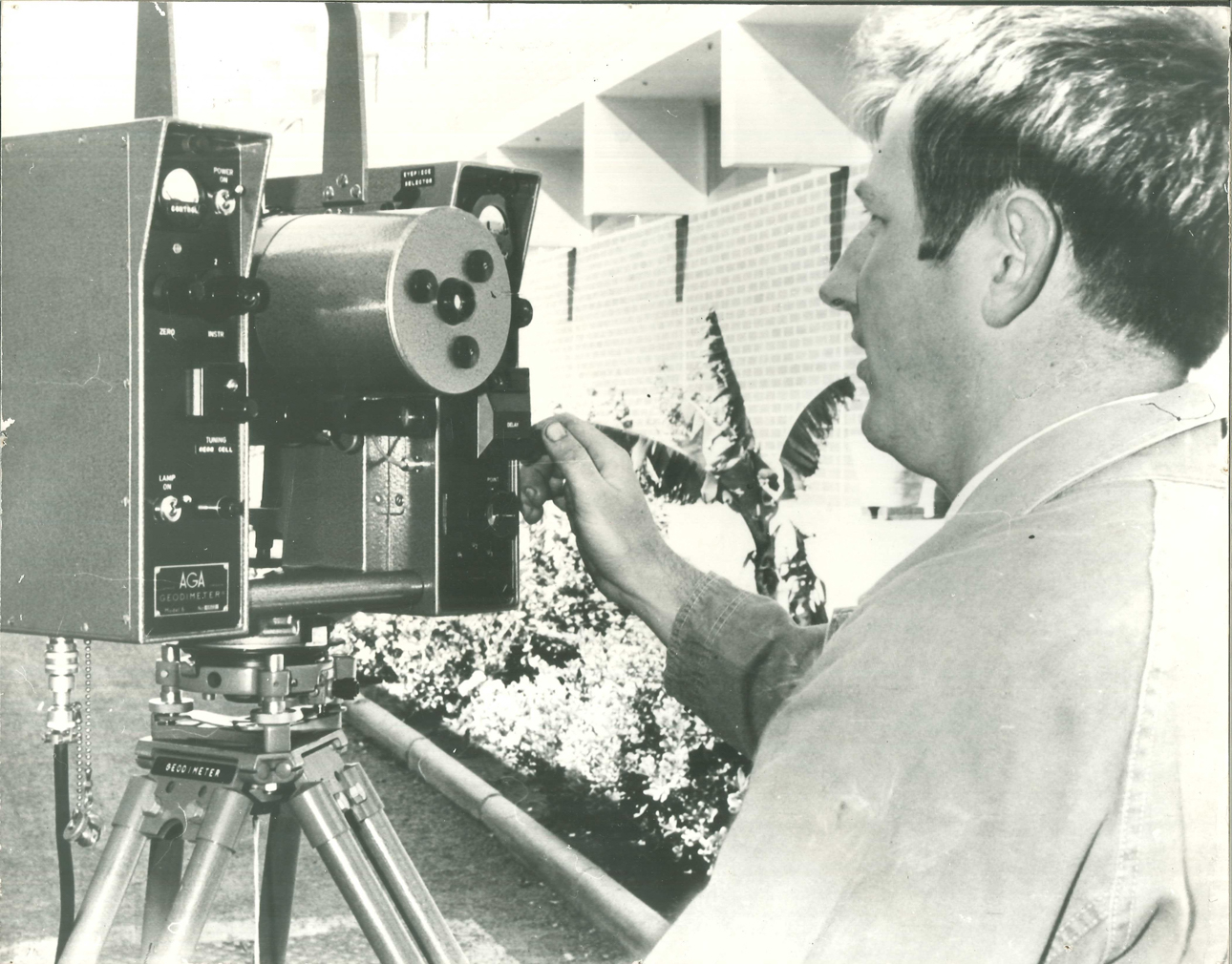
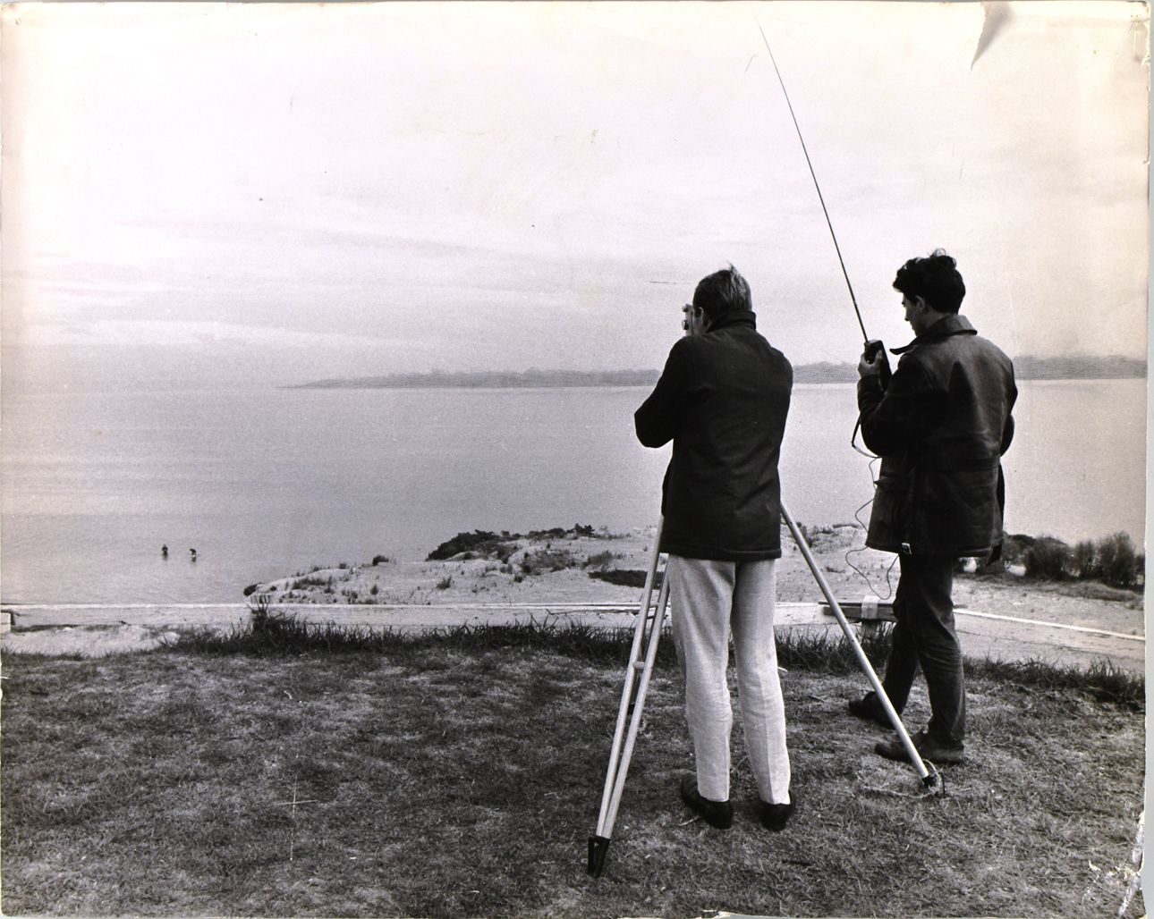
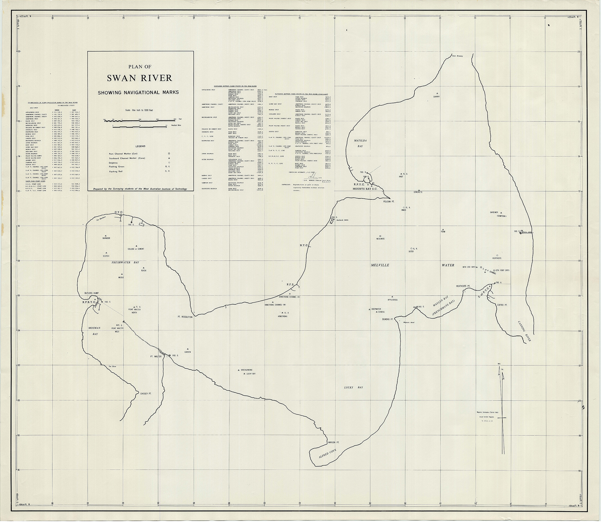
A number of historical surveying equipment artefacts were transferred to the University Archives and were described, catalogued and treated, now part of the Department of Surveying collection. The University Archives holds a map of a section of the Swan to Canning River, charted by final year WAIT survey students in 1970. This map was the first surveying map of this area of water.
As technology has progressed the equipment and electronics may have changed, but the sight of the surveying students scattered around campus still remains synonymous with a visit to the Curtin during semester.
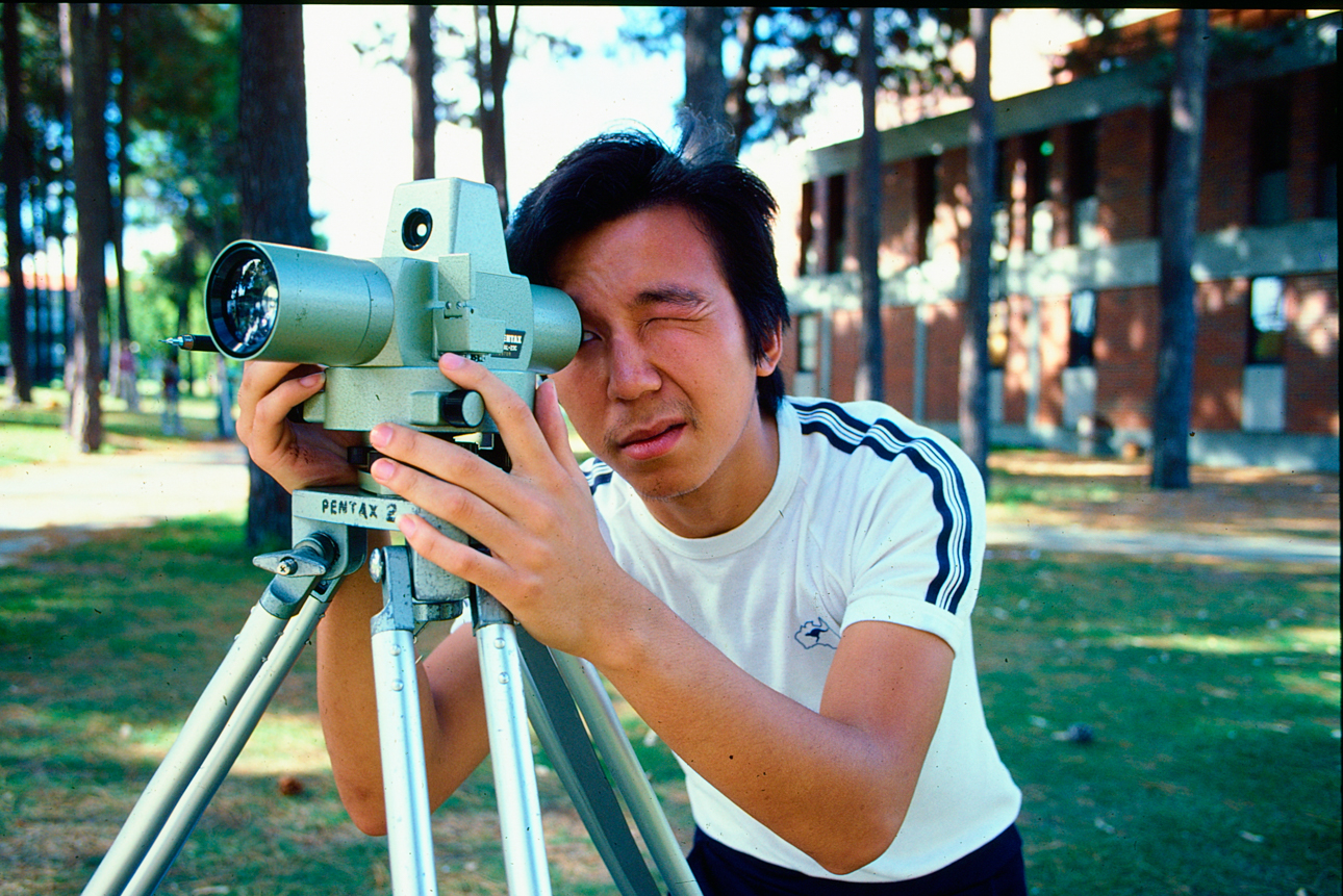
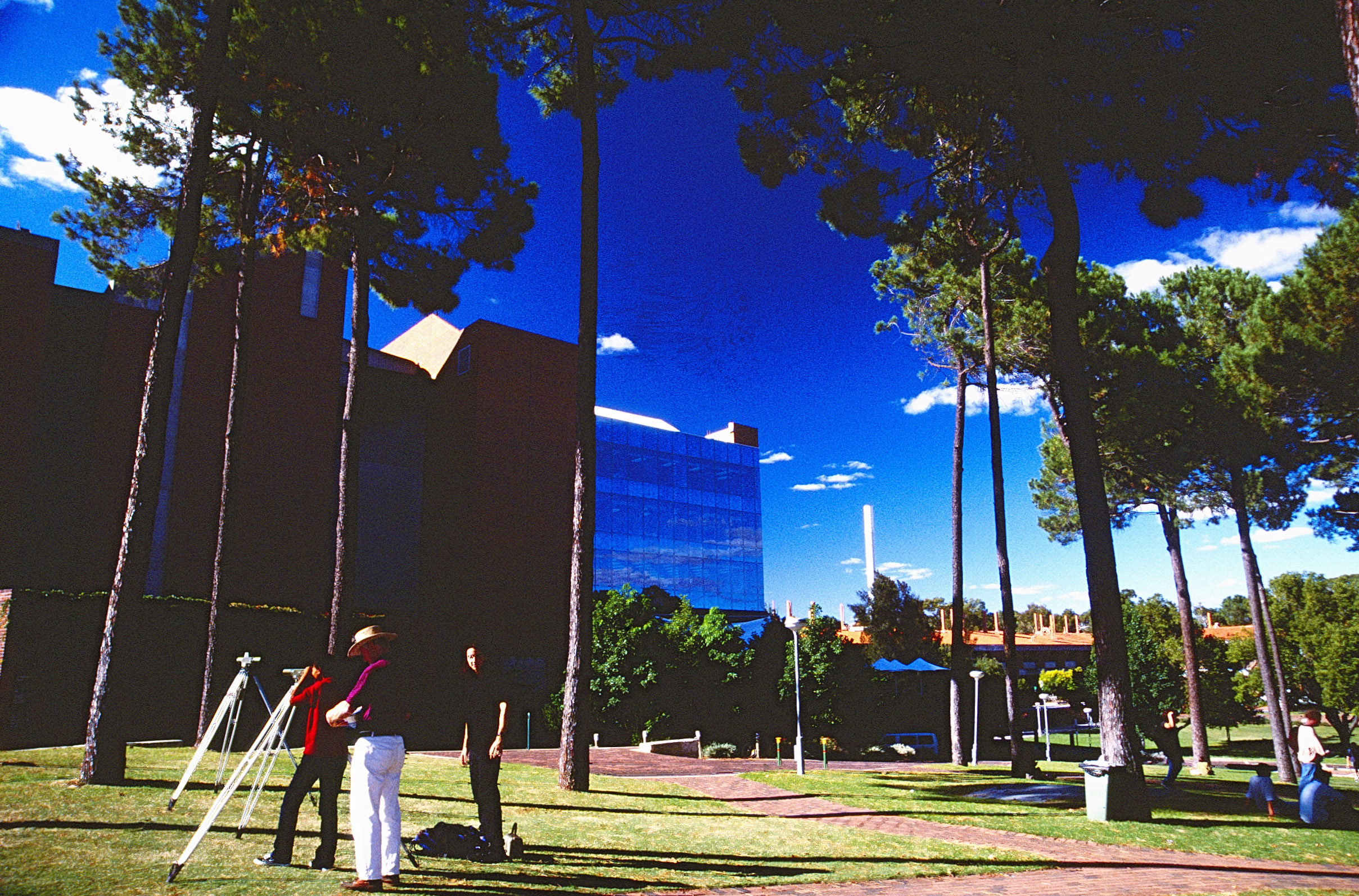
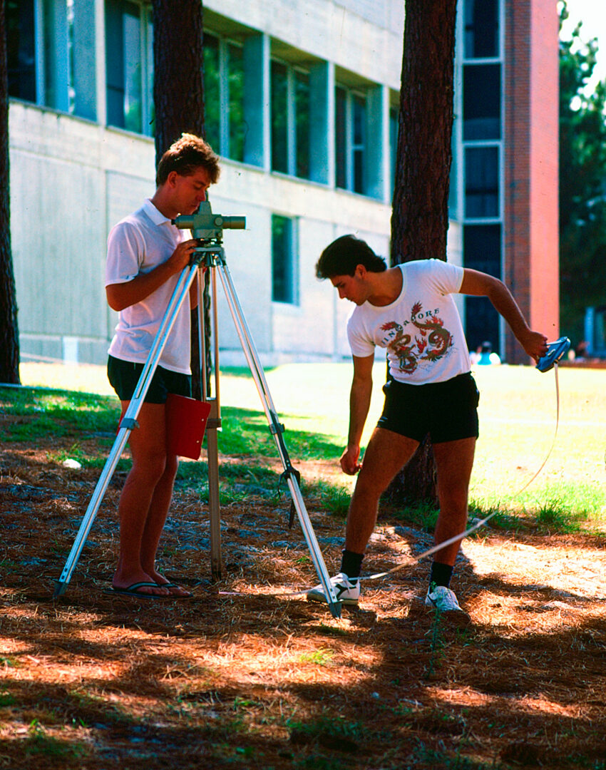
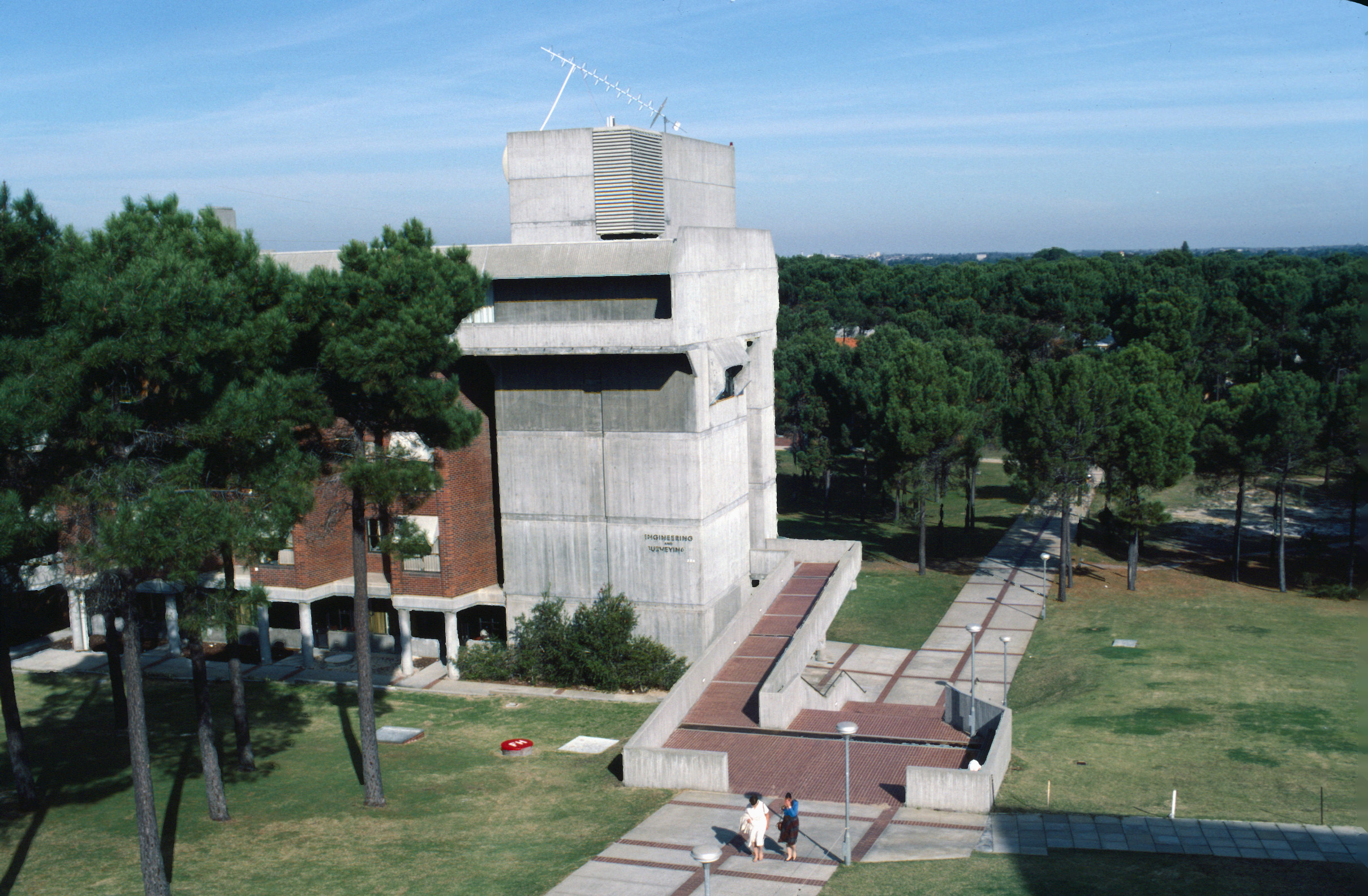
The shadow on the bottom right corner of the image is from building 201, and the Elizabeth Jolley Lecture Theatre and Norm Dufty Lecture Theatre (building 210) will be later built on the grass to the right in the early 90s.
